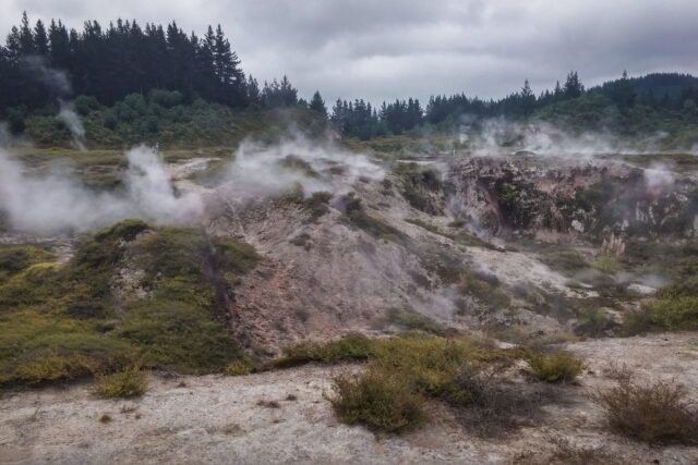
The Mount Tauhara track is a free, unmarked-on-a-map-but-well-trodden climb to the 1,088-metre summit of the dormant volcano east of town, taking most walkers about 3 hours return for roughly 6 km, crossing farmland before rising through forest to a summit with panoramic views over Lake Taupo and, on a clear day, the volcanoes of Tongariro National Park. It is steeper and rougher than most people expect from a “short walk near Taupo,” and it belongs firmly in the Lake Taupo hiking and walks guide as a genuine half-day hike rather than a stroll. This guide covers what the climb actually involves, what you need to bring, who should skip it, and how it compares with the district’s other short walks.
The track at a glance
Lead-in: Mount Tauhara’s summit track starts on Mountain Road off State Highway 5 (the Napier-Taupo Highway), roughly 5 to 7 km east of town, covers about 6 km return, takes most people 3 hours round trip including time at the top, climbs from farmland at around 470 metres above sea level to the 1,088-metre summit, is free with no booking or permit required, has no toilets or water source you should rely on, and is rated by most local sources as moderate to hard rather than easy, mainly because of a genuinely steep final push through forest to the top.
This is not a walk to underestimate because of its short distance on paper. The elevation gain over such a short horizontal distance is what makes it hard work, and the track surface shifts from firm farm track at the bottom to loose, root-covered forest floor higher up. Budget more time than the headline “3 hours” if you are not a regular hiker, and treat it with the same respect you would give any real climb, not a lakeside stroll.
Getting to the trailhead
Lead-in: from central Taupo, head east on State Highway 5 toward Napier, and at roughly 5 km look for the Mountain Road turnoff (also signed toward the rifle range), turn left and follow the gravel road to its end where a small car park marks the start of the track, with no public transport running out this way and no shuttle currently operating to the trailhead, so a rental car, taxi, rideshare, or a bike ride out on a quiet morning are your only realistic options.
If you are relying on the wider transport around Taupo, this is one of the few hikes in the district genuinely difficult to reach without your own wheels. A taxi from central Taupo to the Mountain Road car park runs roughly NZ$20 to 30 each way as of 2026, and unless you can arrange a pickup at a set time, that usually means paying for the return leg too or organising a lift back. Some hostels occasionally run informal shuttles to popular walks; ask at the front desk before assuming you will need to pay for transport twice.
There is no fuel, food or water available anywhere near the trailhead, so sort all of that in town before you leave. The last reliable stop for supplies is central Taupo itself.
What the climb is actually like
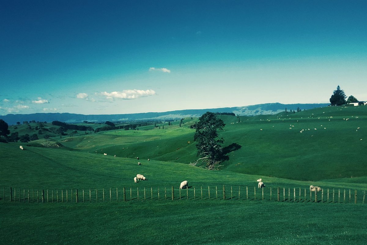
The track starts behind a large pine tree at the edge of the car park, where a sign marks the beginning of the route. For the first 40 to 50 minutes, the track crosses open farmland, climbing steadily over grass with a couple of stiles to cross. This is genuinely private land used for grazing, so expect to share the paddocks with sheep or cattle, keep dogs off the track entirely (dogs are not permitted, both out of respect for livestock and because this is not a DOC-managed reserve), and stay on the marked route rather than cutting across paddocks.
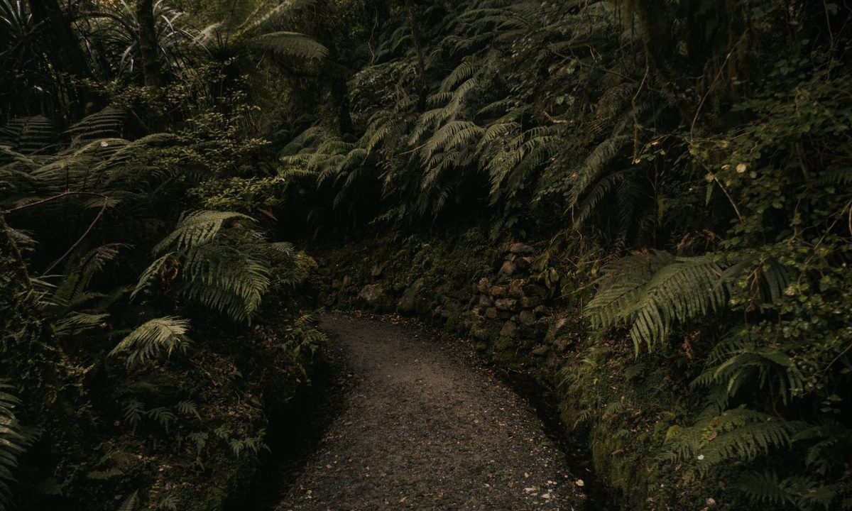
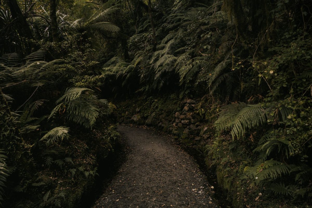
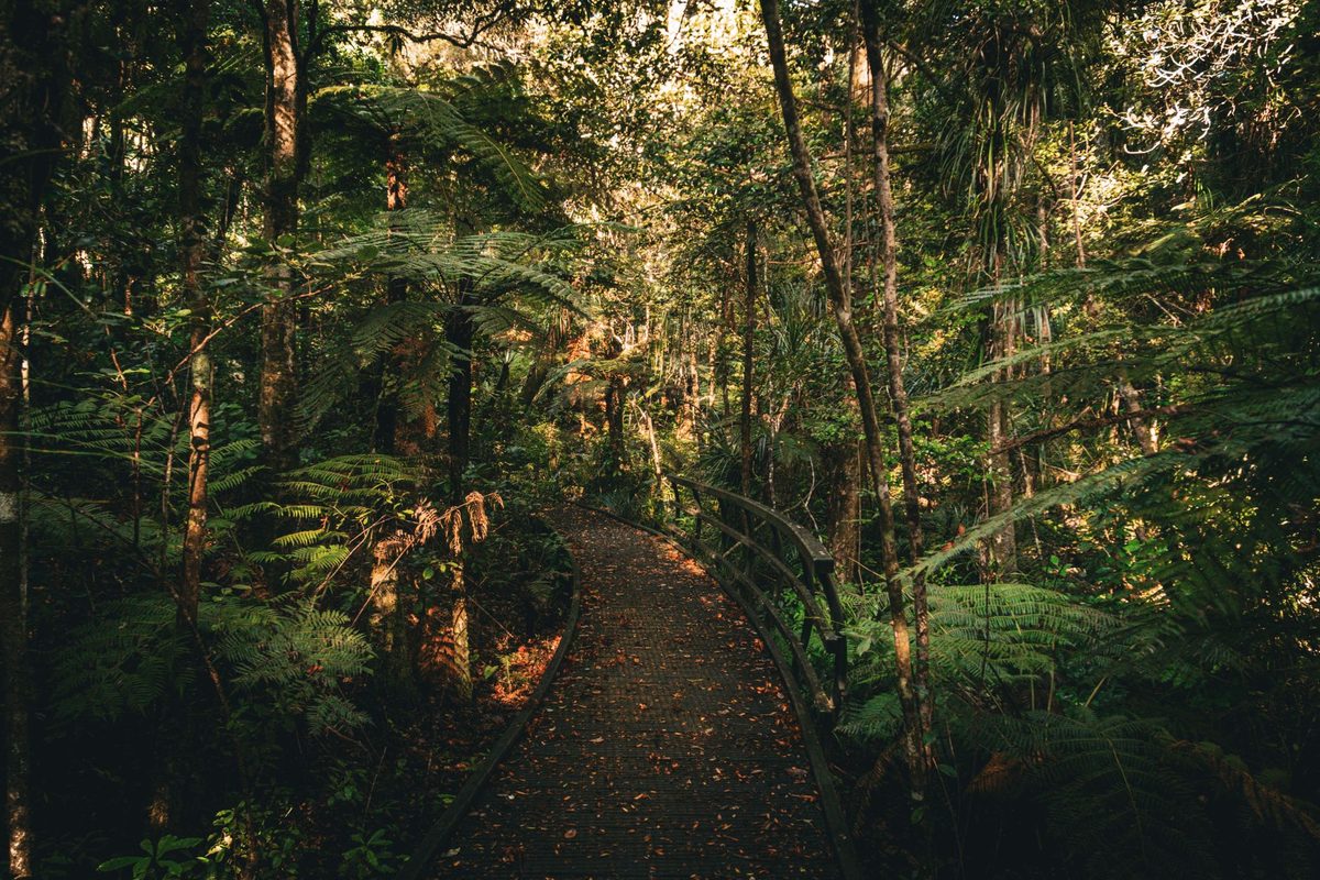
Around the halfway point, the track reaches a cluster of old water tanks and the character of the walk changes completely: from here you climb into scrub and then native forest, and the track narrows, steepens, and gets noticeably rougher underfoot, with exposed roots, loose ground and, after rain, genuinely slippery sections. A small creek crosses the track roughly 15 minutes below the summit and is the only water source on the route; do not treat it as a guaranteed refill point, since flow can drop in dry periods, and boil or treat any water you take from it regardless.
The final stretch to the summit is the steepest part of the entire walk and is where most people underestimate the effort required. It is short in distance but genuinely demanding, especially if the ground is wet. Good grip on your shoes matters more here than anywhere else on the track.
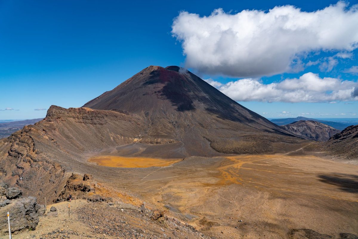
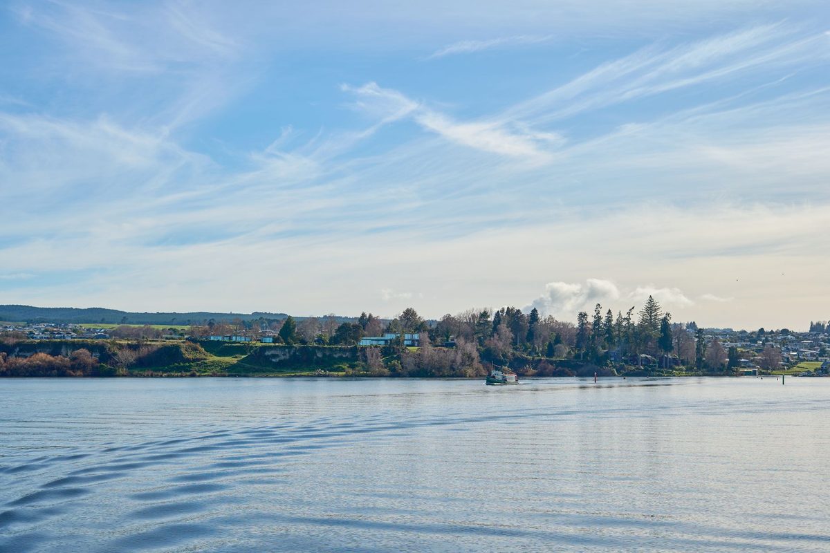
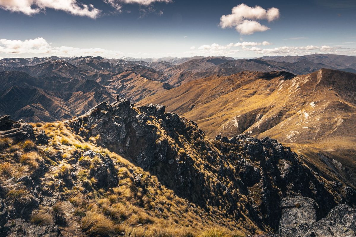
From the summit, on a clear day you get a full panorama: Lake Taupo spread out to the west, Mount Ruapehu, Mount Ngauruhoe and Mount Tongariro visible to the south, and on the clearest days, Mount Taranaki far to the west and White Island’s steam plume out toward the Bay of Plenty. It is one of the best value-for-effort viewpoints in the district precisely because so few people bother to climb it. Wind at the top is common and often cold even when it is warm at the car park, so bring a layer regardless of the forecast in town.
Difficulty, honestly assessed
Do not go into this expecting an easy walk because the distance looks short on paper. This is a genuine climb of over 600 metres in elevation gain over roughly 3 km one way, most of it concentrated in the second half, and the final section through forest is steep enough that you will be using your hands on tree roots and rocks in places. Reasonable fitness is required. If you can comfortably manage a few hours of continuous uphill walking, you will be fine; if stairs leave you badly out of breath, this is not the walk to start with.
Footwear matters more here than on almost any other walk in this guide. Proper hiking shoes or boots with real tread are strongly recommended, not trail runners or sneakers, because the combination of loose forest floor, exposed roots and a steep final pitch punishes poor grip. After rain, the upper track gets genuinely slippery, and the return descent is often harder on the legs and more prone to slips than the climb up.
What’s overrated about it
Some listings pitch Mount Tauhara as an “easy alternative” to bigger hikes in the region, which undersells what is actually a moderate-to-hard climb with a short but punishing final section. If you are looking for something genuinely easy, this is not it; the free things to do in Taupo guide has gentler options that better match that description.
The claim that you can “see three volcanoes” from the summit is true but weather-dependent to the point of being unreliable. Central North Island cloud regularly sits over Tongariro National Park even on days that look clear from town, and you have a real chance of reaching the summit to find Ruapehu, Ngauruhoe and Tongariro all hidden in cloud while Lake Taupo itself is in full sun. Check a mountain-specific forecast, not just the Taupo town forecast, before committing to a specific day if the volcano views are your main reason for going.
What to skip
Skip this walk entirely if you are travelling with young children, have any real doubt about your fitness for sustained uphill effort, or are relying on sneakers with worn tread; the risk of a slip on the steep upper section is real, and there is no easy bail-out partway up once you are into the forest section.
Skip bringing a dog. Dogs are not permitted anywhere on this track because it crosses private farmland with grazing livestock, and this is enforced more strictly here than on some DOC tracks closer to town.
Skip attempting this in the last two hours before dark. There is very little to no phone signal on parts of the upper track, no lighting anywhere, and the descent through forest at dusk is considerably harder and more dangerous than the climb up in daylight. Start early enough that you are back at the car well before sunset.
By traveller type
Solo backpackers who are reasonably fit will find this one of the better free half-days in the district, though you should tell someone your plan and expected return time before heading out, given the limited phone coverage on parts of the route. If you are building out the solo travel in Taupo guide, this is a good mid-trip fitness test before something bigger like the Tongariro Alpine Crossing.
Couples who both hike regularly will enjoy this as a proper half-day outing with a genuine sense of achievement at the top, and it is a good option if you want something more substantial than a lakeside walk without committing to a full-day trip out of town.
Families should generally skip this one with younger children; the steep final section and the lack of any easy turnaround point make it a poor match for kids under about 12, and there are gentler, better-suited options covered in the Lake Taupo with kids guide.
Fit hikers training for something bigger, including the Tongariro Alpine Crossing or Tongariro Northern Circuit, will get genuine value out of this as a leg-and-lung test close to town, since the elevation gain is a reasonable proxy for what is ahead on the bigger walks.
Budget travellers get a free, high-reward outing here that costs nothing beyond transport to the trailhead, and it is worth weighing against paid activities on a tight daily budget, since the views rival anything you would pay for elsewhere in the district.
The volcano itself
Mount Tauhara is a dormant lava dome, formed roughly 65,000 years ago from thick, slow-moving rhyolite lava that piled up close to its vent rather than spreading out, which is why it has the steep, rounded profile you see from town rather than the classic cone shape of a stratovolcano. It sits just outside the Taupo caldera, the same volcanic system responsible for Lake Taupo itself, formed by the roughly 232 AD eruption that was one of the most violent volcanic events on Earth in the last 5,000 years. Tauhara is considered dormant rather than extinct, part of the wider Taupo Volcanic Zone that also produces the geothermal activity you can see much closer to town.
If the geothermal side of the region interests you more than the geology, the district’s steam vents, mud pools and hot springs are a completely different way to experience the same underlying volcanic system, and they are covered in full in the Taupo geothermal attractions guide. Standing on Tauhara’s summit and looking down at Lake Taupo is, in a real sense, looking at two different expressions of the same volcanic field: one a dormant dome you can climb, the other a flooded caldera you can swim in.
Tauhara also carries genuine cultural weight for local Maori, tied into the wider Te Arawa and Ngati Tuwharetoa narratives connected to the Taupo district, and it is not simply scenery. If you want the fuller context before or after the climb, it pairs well with a broader look at the region’s things to do in Lake Taupo, most of which sit within the same volcanic landscape whether or not that is obvious at the time.
By season
Summer (December to February) gives the longest daylight window and the best odds of a clear-sky summit, though midday heat on the exposed farmland section can be tough; an early start beats the worst of the sun and gets you to the summit before afternoon cloud tends to build over the mountains to the south. Spring and autumn are genuinely the best seasons for this walk: cooler climbing temperatures on the farmland section, generally stable weather, and a reasonable chance of clear volcano views. Winter is possible but demands more caution: the upper forest track holds moisture longer, mud and slippery roots are far more common, daylight is shorter so you need to start earlier, and June is the wettest month in the district by some margin, with roughly 14 rain days on average against about 9 in February. Wind chill at the summit in winter is significant even on an otherwise calm day in town, so pack a proper layer, not just a light jacket.
A costed sample day around the climb
Take a taxi or rideshare out to the Mountain Road car park early morning (roughly NZ$20 to 30 as of 2026), climb to the summit and back (free, allow 3 to 4 hours depending on fitness), then either arrange a pickup or, if you are up for more walking, continue on foot back toward town. Back in Taupo, refuel with a solid lunch (roughly NZ$18 to 25 for a casual meal as of 2026 — see the Taupo food and dining guide for options), then spend the afternoon somewhere low-effort like a soak at Otumuheke Stream (free) to loosen up tired legs. All up, a full, memorable day for around NZ$50 to 65 per person including transport and food, most of it optional spend rather than a fixed entry fee.
What to bring
Proper footwear with real grip is the single most important item. Beyond that: at least 1 to 1.5 litres of water per person (do not rely on the creek), a warm layer for the summit even on a warm day in town, sun protection for the exposed farmland section, a fully charged phone though do not expect reliable signal throughout, and snacks, since there is nothing to buy anywhere near the trailhead. Trekking poles are genuinely useful on the steep upper section, particularly on the descent. A general packing rundown for the wider district is in the Taupo packing list, though this specific walk calls for more capable footwear than most of the district’s other short walks.
Sunrise and photography timing
Mount Tauhara faces roughly west toward Lake Taupo, which means sunset light on the lake from the summit is generally more rewarding than sunrise, when you are more likely to be looking into flat morning haze over the water. If you do want to attempt a sunrise climb, you need a headtorch for the lower farmland section in the dark, a realistic buffer of at least 3 hours before first light to be safely at the top, and a genuine willingness to descend a steep, root-covered track in the dark afterward if you linger too long. Most people get a better result and a much safer outing by climbing mid-morning, when the farmland section has warmed up and any overnight mist has usually cleared from the lower track.
Because phone coverage is unreliable on the upper track, do not rely on a phone torch as your only light source if you are timing a dawn or dusk climb; carry a proper headtorch with spare batteries. Solo hikers heading up for sunrise or sunset should tell someone their exact plan and expected return time, and treat the lack of signal as the norm rather than the exception once you are into the forest section.
Safety and etiquette
This track crosses working farmland for its lower half, so close gates behind you, stay on the marked route rather than cutting across paddocks, and give livestock plenty of space, especially if you are walking with a dog (which, again, is not permitted here). The upper forest section has genuinely steep, root-covered ground with real fall risk if you are moving too fast or the ground is wet; take your time on the descent in particular, since most minor injuries on tracks like this happen going down, not up. Phone coverage is patchy to non-existent on parts of the upper track, so tell someone your plan, carry a charged phone, and do not treat this as a walk to attempt alone late in the day. Broader safety guidance for hiking and geothermal hazards across the district is in the Taupo safety tips guide.
How this compares to the district’s other walks
If you have already done the flat, easy Huka Falls walk and want something that actually tests your legs, Mount Tauhara is the natural next step up in this district, well short of committing to the full-day Tongariro Alpine Crossing but considerably harder than anything else close to town. It earns a place among the district’s must-do experiences in Taupo, since it can be done in half a day with no overnight gear and no track booking, unlike the bigger multi-day options.
If you are working through a 3-day Taupo itinerary, this is a strong candidate for a middle day once you have settled in, since it demands a full morning but leaves the afternoon free. On a longer 5-day itinerary or 7-day Taupo itinerary, it works well as a fitness warm-up a day or two before the Tongariro Alpine Crossing, giving you a real sense of your pace on sustained climbs before committing to the bigger day.
It also pairs naturally with a broader day of adventure activities if you are chasing an endorphin-heavy day out; see the Taupo adventure activities guide for what else is close by, and check the Taupo weather guide and the best time to visit Taupo guide before locking in a date, since a clear-sky summit is the whole point of the climb. If you are still building your trip from scratch, start with the how to plan a backpacking trip to Lake Taupo guide, sort your accommodation, and consider pairing this climb with one of the day trips from Taupo the same week. Slot the climb itself in on a day with a genuinely clear forecast rather than forcing it into a fixed schedule regardless of weather. Anyone curious about the cultural context of the mountain itself will find useful background in the Lake Taupo Maori history and culture guide, since Tauhara carries real significance for local iwi and is not simply a viewpoint.
Frequently asked questions
How long does the Mount Tauhara track take?
Most people take around 3 hours for the full return trip, covering roughly 6 km with over 600 metres of elevation gain. Less experienced or slower walkers should budget closer to 4 hours, particularly if the upper section is wet.
Is Mount Tauhara track free?
Yes. There is no entry fee, booking or permit required to walk the track. The only real cost most people incur is transport to and from the Mountain Road trailhead, since there is no public transport route out there.
Is the Mount Tauhara track hard?
It is moderate to hard rather than easy. The distance is short but the elevation gain is significant, and the final section through forest to the summit is genuinely steep, with loose ground and exposed roots. Reasonable fitness and proper footwear are both important.
Can you take dogs on the Mount Tauhara track?
No. Dogs are not permitted anywhere on the track because the lower half crosses private farmland with grazing livestock. Leave dogs at your accommodation for this particular walk.
What can you see from the summit of Mount Tauhara?
On a clear day you get a full panorama of Lake Taupo to the west and the Tongariro National Park volcanoes, Ruapehu, Ngauruhoe and Tongariro, to the south. On the clearest days you can also pick out Mount Taranaki and, occasionally, the steam plume from White Island. Cloud over the mountains is common even when Taupo itself is clear, so check a mountain-specific forecast if the volcano views matter to you.
Do you need hiking boots for Mount Tauhara?
Proper hiking shoes or boots with real tread are strongly recommended rather than required by any rule. The steep, root-covered upper section punishes poor grip, especially on the descent, and after rain the risk of a slip rises significantly without decent footwear.
Final Thoughts
Mount Tauhara rewards the effort with one of the best free viewpoints in the district, but it is a genuine climb, not a casual stroll, and treating it that way is how people end up underprepared on the steep upper section. Go with proper shoes, a warm layer, enough water, and a realistic estimate of your own fitness, and this becomes one of the most satisfying half-days available near Taupo without paying for a single thing.
Check the mountain forecast rather than just the town forecast before you commit to a day, start early, and give yourself the full three to four hours rather than rushing it. The summit is worth the climb on a clear day and a genuine let-down if you arrive into cloud, so pick your window carefully.
Back to the main guide: see the full Lake Taupo hiking and walks guide for every other trail in the district, from easy riverside strolls to the multi-day Tongariro Northern Circuit.