Discover Backpack Lake Taupo
In-depth guides, itineraries and local tips for your next trip.


Latest articles
Safety Tips for Backpackers in Taupo: The Complete New Zealand Guide (2026)
Taupo is a genuinely safe place to backpack — New Zealand is one of the most peaceful countries in the world, and…

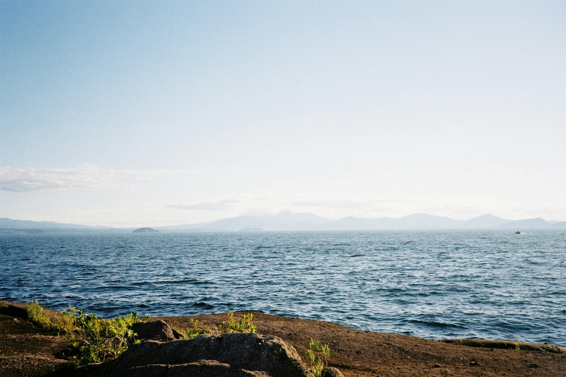
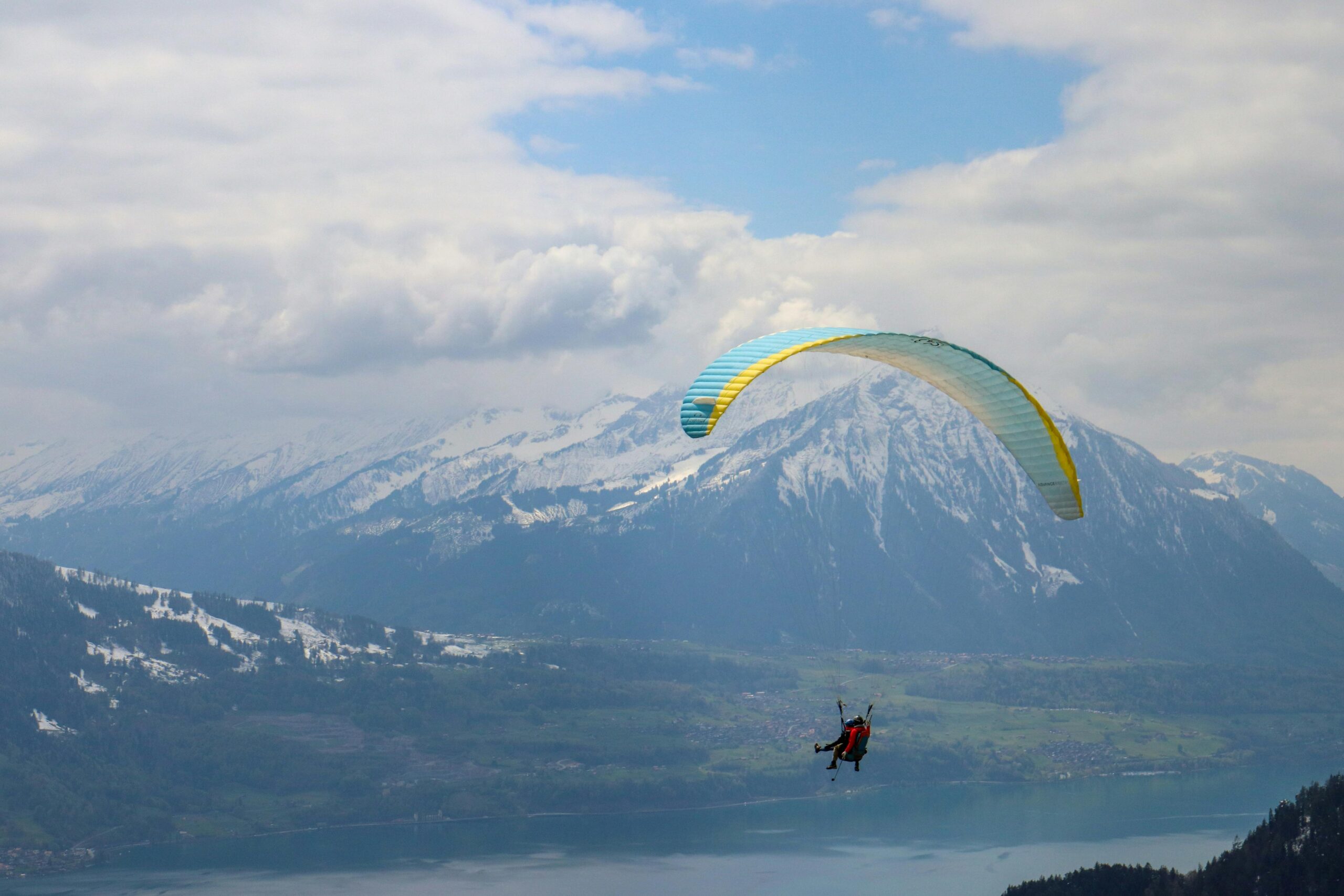
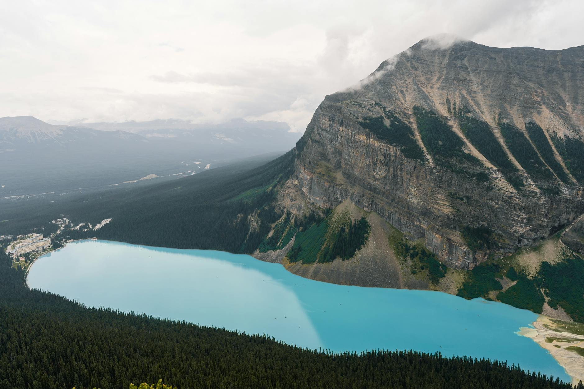
Lake Taupo Weather: The Complete Month-by-Month Guide for Backpackers (2026)
Here’s the short version of Lake Taupo weather month by month: summers (Dec–Feb) are warm and dry-ish with highs of 20–23°C, winters…
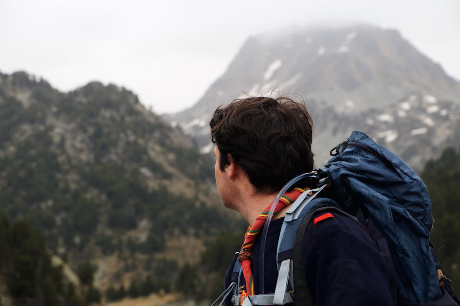
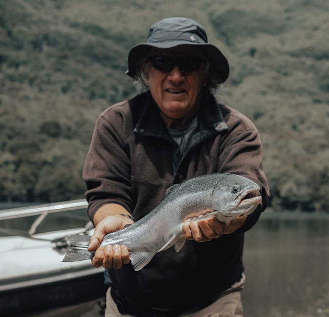
Lake Taupo Solo Backpacking Guide: Everything You Need to Know (2026)
Solo backpacking Lake Taupo is easy in the best possible way: the town is tiny, the hostels are sociable, and half the…
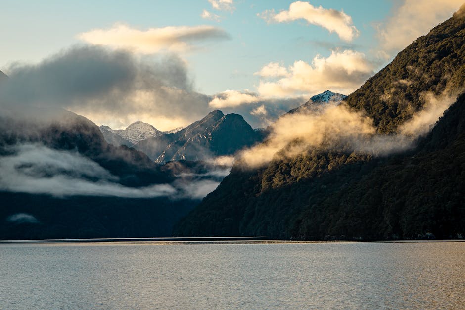
7-Day Lake Taupo and Surrounds Itinerary: The Ultimate Week-Long Guide (2026)
A week is when Taupo stops being a stopover and starts feeling like a proper leg of your trip. This 7 day…

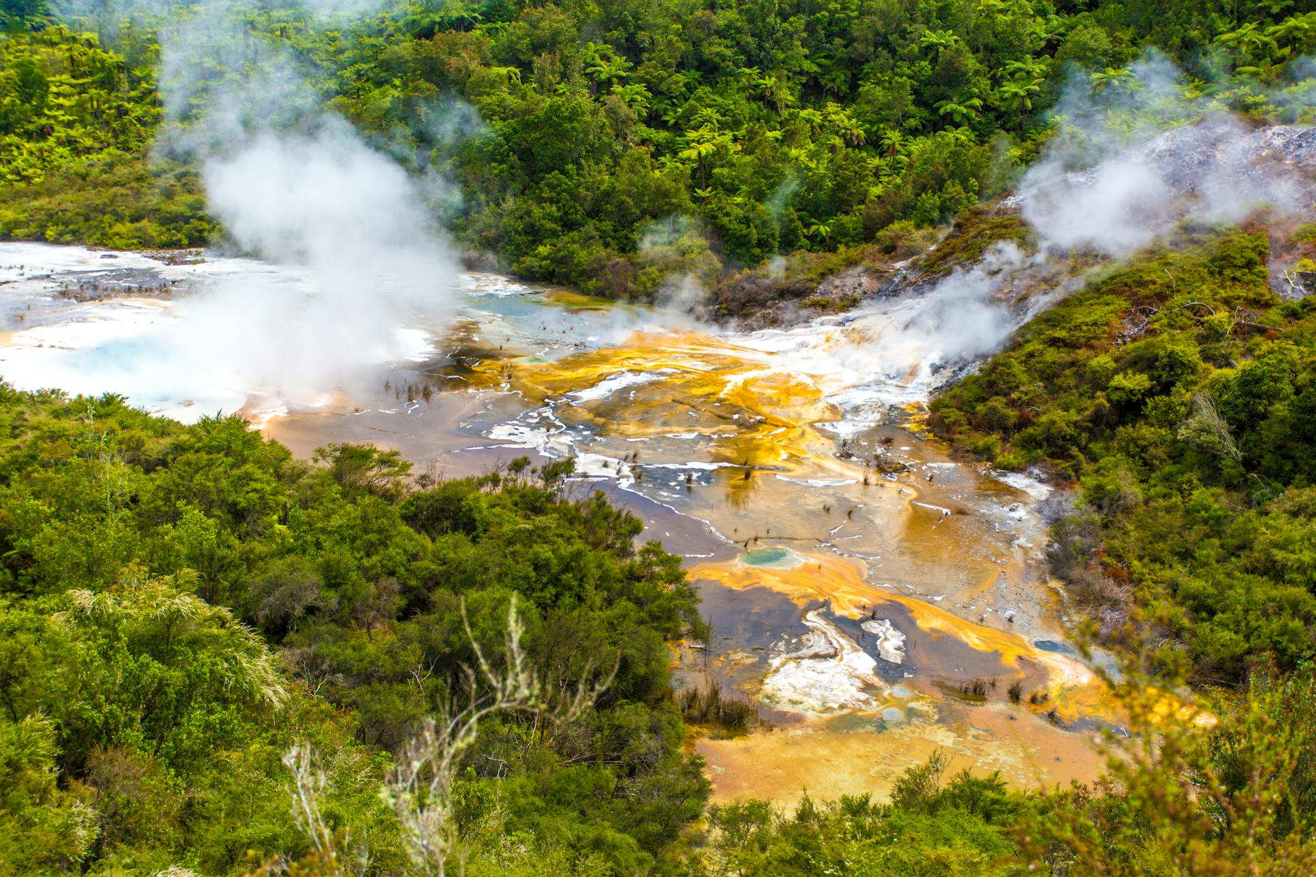
5-Day Lake Taupo Backpacking Itinerary: The Complete Day-by-Day Guide (2026)
Five days is my favourite length for Taupo. It’s long enough to hike the Tongariro Alpine Crossing, wander a steaming geothermal valley,…
3-Day Lake Taupo Backpacking Itinerary: The Perfect Short Trip (2026)
This 3-day Lake Taupo backpacking itinerary packs the best of the region into a tight, satisfying schedule. Three days is enough to…