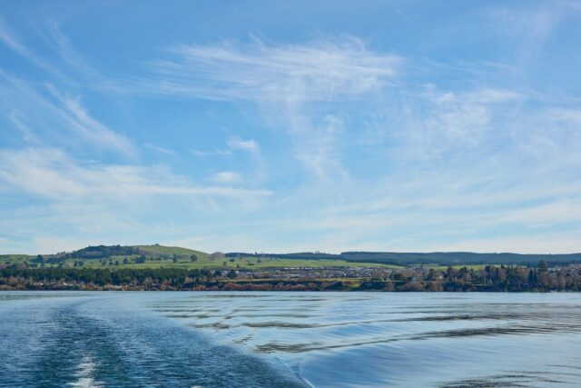
For hiking Lake Taupo, you’re spoiled: one of the world’s great day walks, a Great Walk you can tramp over three days, geothermal boardwalks, and easy lakeside paths — all within 90 minutes of the same town. Seasoned backpacker chasing the Tongariro Alpine Crossing, or a casual walker after a gentle stroll with a view? The trails around the lake deliver either way, through volcanic country, native forest, and shoreline. This guide runs through the best walks, what each one costs and demands, and how to do them on a budget. It sits alongside the complete backpacking guide to Lake Taupo, so start there if you’re planning the whole trip.
Why Lake Taupo is a hiker’s paradise
The Lake Taupo region gives walkers real range. Built around New Zealand’s largest freshwater lake, this geothermal hotspot stacks dramatic volcanic peaks, forest trails, and water features into a compact area right by town. What sets hiking Lake Taupo apart is the sheer spread of difficulty and time commitment on offer. You can knock off the legendary Tongariro Alpine Crossing in a day, tramp a multi-day Great Walk, wander an easy lakeside loop, or explore steaming geothermal boardwalks — often in the same week.
The area sits within Tongariro National Park, which takes in active and dormant volcanoes, native beech forest, and high alpine terrain. For budget backpackers that’s ideal, because a lot of the best walks are free or low-cost, and the tramping infrastructure is well established with affordable hut accommodation through the Department of Conservation (DOC).
Access is the other big draw. Most trails sit 20 to 90 minutes from Taupo town, with good shuttle services and local operators filling the gaps. To round out your days off the trail, the things to do around Lake Taupo and adventure activities guides pair nicely with a walking itinerary.
Tongariro Alpine Crossing: New Zealand’s greatest day hike
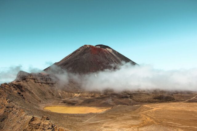
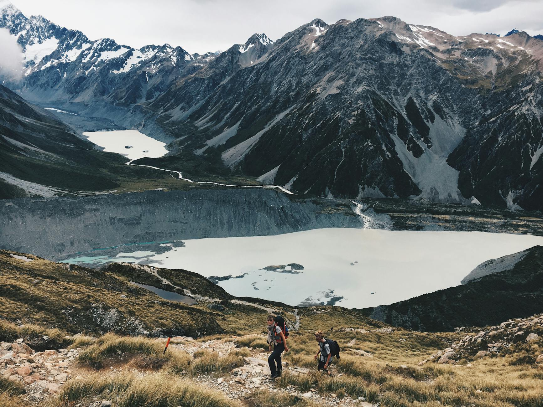
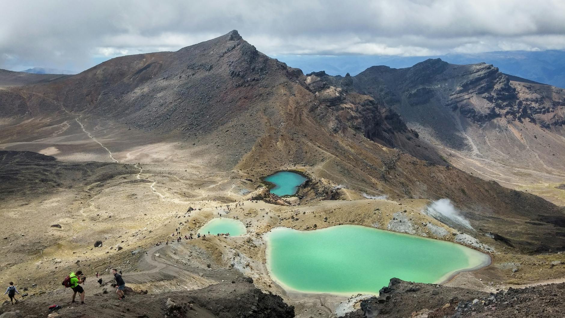
The Tongariro Alpine Crossing lands near the top of nearly every “world’s best day walk” list, and it earns it. This 19.4 km point-to-point crosses volcanic terrain and alpine ridges, past the striking Red Crater, with views over the Emerald Lakes and Blue Lake. Most people finish in 6–9 hours depending on fitness and conditions. It climbs roughly 800 metres and is rated difficult, but thousands of average-fitness walkers complete it every year.
Route overview and what to expect
The walk starts at Mangatepopo and climbs through the Mangatepopo Valley into alpine grassland, then up to the Red Crater summit at 1,868 metres — the high point, with panoramas across the central plateau. Dropping into the crater basin, you reach the stunning Emerald Lakes, coloured by geothermal minerals, and the cooler Blue Lake, before the long descent to the Ketetahi end. The total climb is around 800 metres, though the cumulative ups and downs make it feel harder.
Much of the route is fully exposed. Alpine conditions can turn fast, with wind and sudden weather becoming genuinely hazardous, and the volcanic ash and pumice gets slippery when wet. In peak season (December to March) expect crowds — 1,500-plus hikers a day in January is normal.
Transport, bookings, and costs
A shuttle is essential because the walk is point-to-point. Operators run from Taupo to the Mangatepopo start and collect from Ketetahi at the finish, costing roughly NZD $55 return. Book your shuttle ahead, especially in peak season. If you’re weighing transport for the wider trip, the getting to Taupo transport guide lays out the options.
Booking the Crossing online is now required, with a daily quota, so secure your spot early through the official channel. Always confirm current requirements and trail status on the Department of Conservation website before you go — the system helps manage congestion and keeps the track sustainable.
Tips for backpackers
Start early — most walkers set off by 7–8am to beat the crowds and lock in enough daylight for the full route. Carry 2–3 litres of water; sources on the mountain are limited. Weather gear is non-negotiable: wind, rain, and sudden cold are routine, and even on a warm valley day the alpine temperature can run 10-plus degrees cooler. Those exposed ridges make sun protection critical too. For a full kit list, see the Lake Taupo packing list for backpackers.
Rock cairns mark the route, but visibility drops in mist, so download offline maps or bring a printed map and compass. The “difficult” grade is about exposure, elevation, and distance rather than technical climbing — an average-fitness person who’s prepared will manage. Leave valuables at your accommodation; shuttles have limited secure storage. Before an alpine day, always check the forecast on MetService.
Tongariro Northern Circuit: the Great Walk
If you’re up for a multi-day tramp, the Tongariro Northern Circuit is one of New Zealand’s Great Walks and a genuine highlight. This 43.1 km loop takes 3–4 days and circles Mount Tongariro, pairing remote volcanic landscape with native beech forest and geothermal features. Unlike the day crossing, the circuit is a slower, more immersive experience, and with hut bookings it’s very doable on a budget.
Daily breakdown and hut information
Day 1: Whakapapa to Mangatepopo Hut (9.4km, 4 hours)
The walk begins at Whakapapa Village and follows the trail through tussock and beech forest, gradually gaining elevation. It’s well-formed and moderate. Mangatepopo Hut is a basic DOC hut sleeping around 20 in bunk rooms. Cost is roughly NZD $45 per night in peak season (late October to April).
Day 2: Mangatepopo to Oturere Hut (12km, 5 hours)
The most demanding day, taking in the alpine crossing section itself. You climb from the hut through grassland and onto the mountain, passing the Red Crater and Emerald Lakes before descending to Oturere Hut. Oturere sits in a dramatic geothermal valley with active vents.
Day 3: Oturere to Waihohonu Hut (8km, 2.5 hours)
A shorter, easier day descending into native forest. Waihohonu Hut is the largest and most modern on the circuit, with good facilities. Cost is similar, around NZD $45 per night in peak season.
Day 4: Waihohonu to Whakapapa Village (13.7km, 4 hours)
The return follows gentle grades back to the starting village through tussock country and forest.
Booking and accommodation costs
All Great Walk huts must be booked through DOC. Bookings open months ahead and fill fast in peak season (November to March). Peak-season hut prices are roughly NZD $45 per night; shoulder season (October, April) is around NZD $25. Huts have bunks with mattresses, cooking facilities, and heating, but no showers or Wi-Fi. Bring a sleeping liner, and a sleeping bag, as bedding isn’t provided.
Total hut accommodation for a backpacker comes to roughly NZD $130–$180, plus food and shuttle costs — which makes the Tongariro Northern Circuit one of New Zealand’s most affordable Great Walks. For where to sleep at either end, the where to stay in Taupo on a budget guide helps.
Best season and weather considerations
The Great Walk season runs October to April, though it’s possible outside that with extra caution and alpine experience. Weather is most stable December to February. Snow can linger above 1,400 metres well into spring, so November suits confident walkers more than beginners. Summer offers the best weather and longest days, but expect crowds and higher prices.
Huka Falls walk and Aratiatia Dam
For an accessible walk close to town, the Huka Falls walk is a gem. Just a few kilometres north of Taupo, it combines striking natural scenery with geothermal features and works perfectly for travellers short on time or fitness.
Spa Park to Huka Falls (about 3km one way)
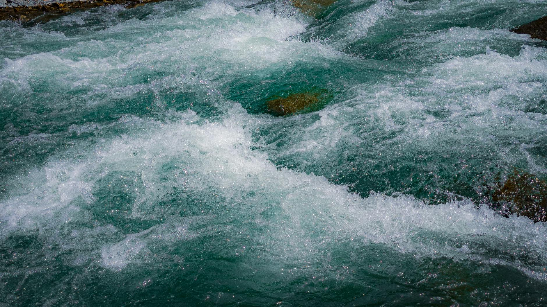
The main walk starts at Spa Park, a free reserve with parking and facilities. The track is well-formed and mostly flat, running alongside the Waikato River with views of geothermal activity and native bush. The one-way walk takes about an hour and leads to Huka Falls, where the river plunges into a turquoise pool. At peak flow the falls discharge up to 220,000 litres a second. The walk is entirely free and open year-round.
Huka Falls is one of the most photographed waterfalls in the country. The viewing platform gives excellent angles, and the roar of the water is genuinely awe-inspiring. Swimming isn’t permitted because of the ferocious currents below the falls.
Extended route to Aratiatia Dam
From Huka Falls, keen walkers can continue north along the Waikato River Trail to Aratiatia Dam, stretching the outing to a few hours return. This section is quieter and passes through native bush and along scenic river terraces. The Aratiatia Dam creates a narrow, dramatic canyon where water is released on a set schedule.
Aratiatia Rapids dam releases
The dam runs for power generation, with releases at set times — usually 10am, noon, and 2pm daily, plus a 4pm release in summer (December to February). During a release the river surges with real power, and it’s spectacular. Viewing areas are safe and clearly designated. Time your walk to catch one and you’ll witness one of the region’s most dramatic natural sights. Never enter the river during a release; the currents are extremely dangerous.
Mount Tauhara summit track
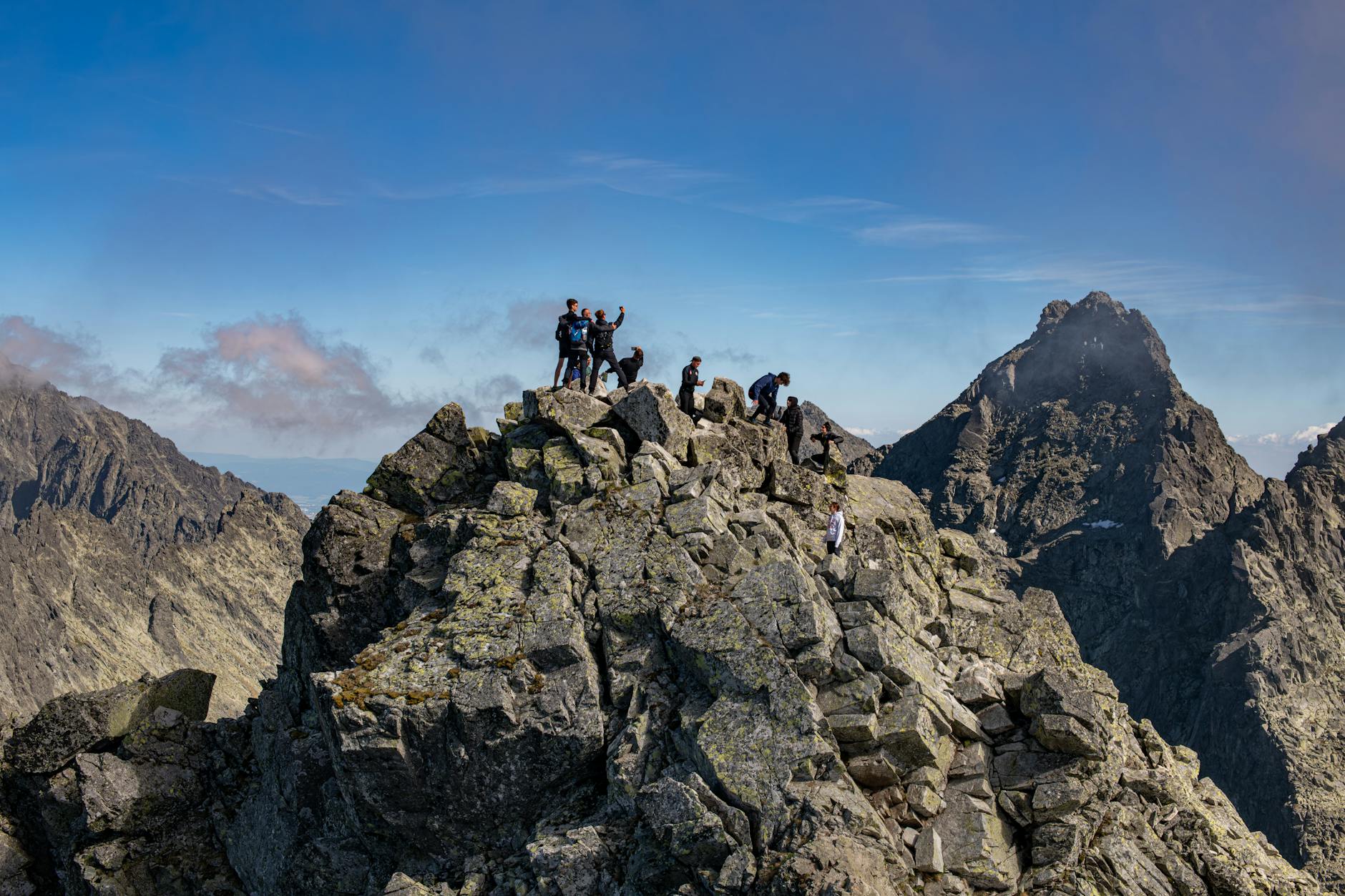
Mount Tauhara is a standalone volcanic cone on the eastern shore of Lake Taupo, and its 1,088-metre summit serves up some of the best panoramas of the lake and surrounding volcanoes. The track is achievable in about 1.5 hours up and an hour down, which makes it an excellent half-day for anyone based in town.
Route details and difficulty
The track starts at the Tauhara Reserve car park on Mountain Road, off the east side of town. It climbs through open pasture before entering regenerating native bush. The terrain is steep and gets muddy after rain, with exposed roots making footing tricky in places. The summit is non-technical but wants reasonable fitness — the elevation gain over a short distance makes it a genuine climb, if a manageable one for most walkers.
What to expect at the summit
The top gives 360-degree views. On a clear day you can see across Lake Taupo to Mount Ruapehu and Tongariro, the deep blue water set hard against the volcanic landscape. It’s particularly good at sunrise or sunset. Allow 30 minutes up top to take it in and catch your breath before heading down. The track is free and open year-round, with no bookings required.
Great Lake Walkway: Taupo’s lakefront path
The Great Lake Walkway, also known as Lions Walk, is a scenic 10 km lakefront path with sweeping views across the water to the Tongariro National Park volcanoes. It’s ideal for budget backpackers who want a leisurely, accessible route with excellent scenery and zero cost.
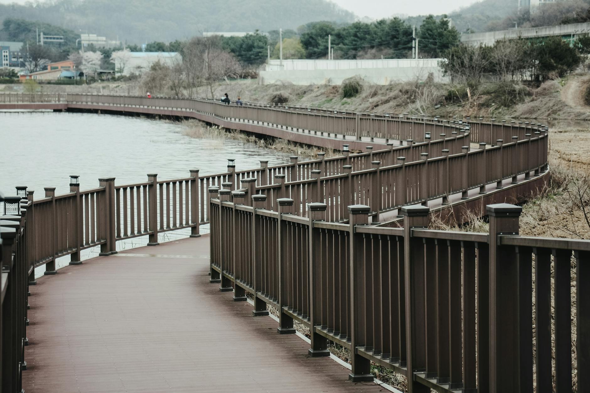
The walkway starts near the town centre and runs roughly northeast along the lakeshore to Five Mile Bay. Much of the path is sealed, so it suits walkers of all fitness levels and ages. It’s flat to gently undulating and takes about 2.5–3 hours one way at an easy pace. Highlights include sections through native vegetation and along wooden boardwalks, with viewpoints that make perfect photo or picnic stops.
The walkway is entirely free, with no fees or bookings, and multiple access points mean you can walk whatever length your day allows. The first stretch out to Spa Park is a short, easy option for an evening stroll. The full 10 km is a rewarding day walk that shows off the lake at its best. It also makes a great warm-up if you’re building toward the Tongariro Alpine Crossing, or a gentle option on rest days.
Craters of the Moon geothermal walk
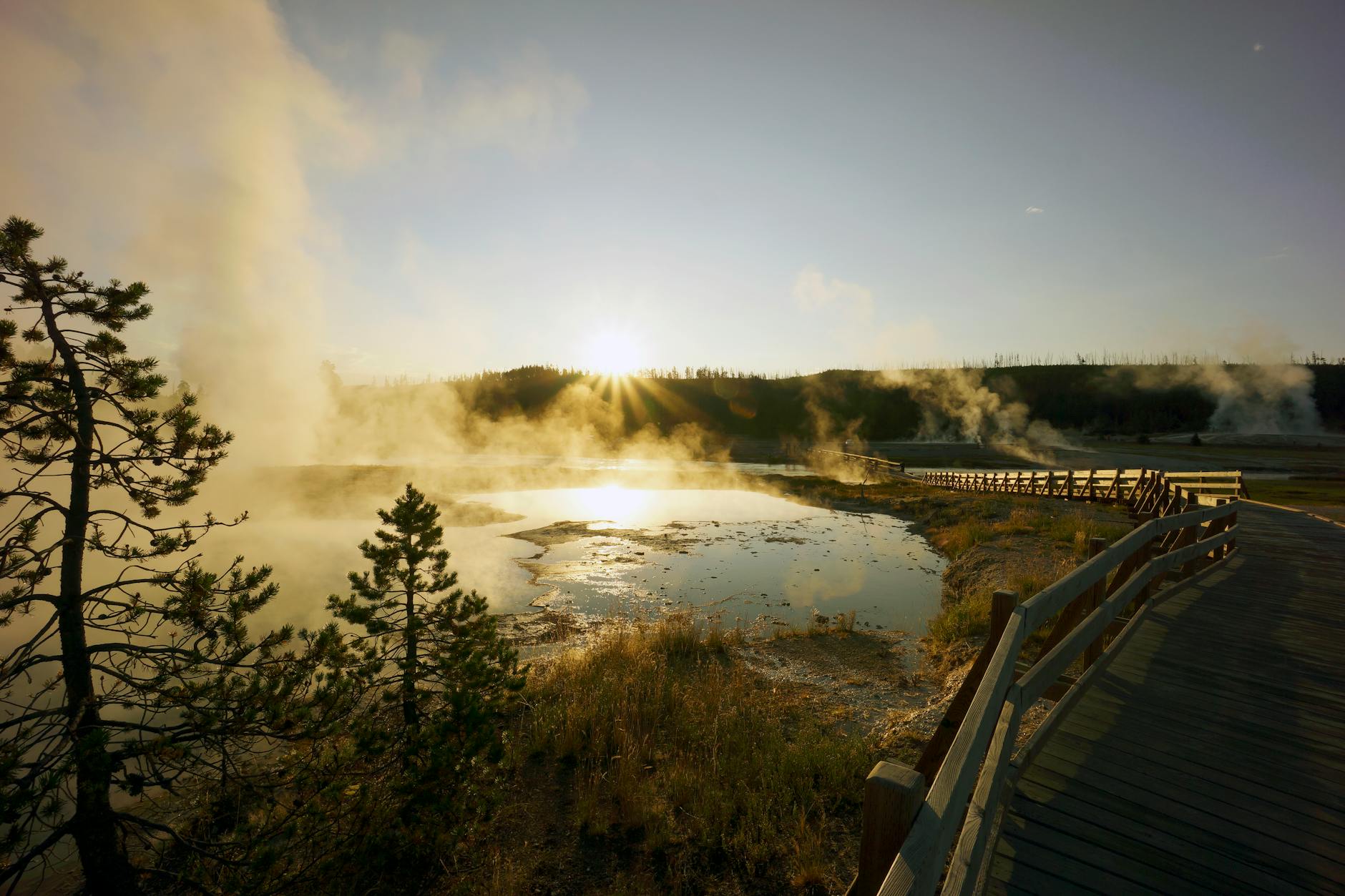
Craters of the Moon is a striking geothermal attraction a short drive northwest of town, with a walk through an active volcanic landscape. This 2.7 km loop takes about 45 minutes and makes an excellent complement to other hikes, especially if you’re curious about New Zealand’s geothermal features.
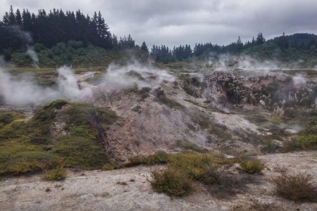
The circuit uses sealed paths and boardwalks that guide you safely past craters, steam vents, and mud pools. The landscape is otherworldly — bare volcanic ground punctuated by hissing vents and coloured minerals. Much of the boardwalk is accessible, which makes it workable for visitors with mobility constraints.
Entry is NZD $8 for adults and NZD $4 for children, and the reserve is open daily from 8:30am to 5:00pm (last entry 4:00pm). No bookings needed. The fee is reasonable and funds conservation of the site. Bring sturdy footwear, because the volcanic pumice is sharp, plus sun protection and water — the walk is exposed with limited shade. For the wider thermal picture, see the geothermal attractions around Lake Taupo guide.
Great Lake Trail: mountain biking and walking
The Great Lake Trail is a 71 km graded track along the lake’s western and northern shores. It’s mainly marketed as a mountain biking route (Grade 3, intermediate), but it’s every bit as good for walking. For budget backpackers it offers flexibility — bike the sections you fancy, walk the ones you want to linger on.
Trail sections and logistics
The trail splits into main sections for easier navigation:
Waihaha Section: Starts at the Waihaha end and passes through farmland and native bush with views across the lake. The terrain rolls with some steep bits but is rideable for competent cyclists and walkable for trekkers.
Kawakawa / Waihora Section: Connects through the scenic bays with more technical terrain — the most challenging for cyclists, though walkers get rewarded with forest and water views.
Whakaipo / W2K Section: Runs back toward Taupo via Whakaipo Bay. This section is generally easier and very scenic, suitable for mixed-ability groups.
Biking the trail for budget travellers
Mountain bike hire is available from several operators in town at roughly NZD $60–$80 a day. The volcanic pumice soil across much of the trail drains exceptionally well, so it’s rideable year-round even after rain — unlike many trails that turn to bog, the Great Lake Trail dries fast.
For walkers, the trail offers 71 km of premium scenery in manageable daily chunks, and a multi-day tramp around the western bays is entirely feasible. Camp sites and budget accommodation dot the small settlements around the lake, and basing yourself in Kinloch gives easy access to the best sections.

Waikato River trails
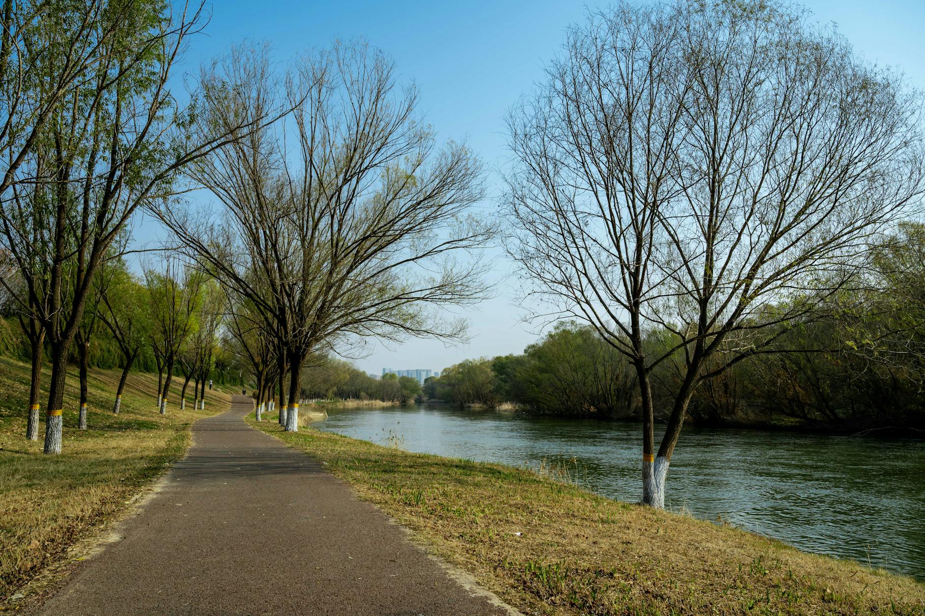
The Waikato River flows north out of Lake Taupo, shadowed by a long network of interconnected walking and cycling trails. The Waikato River Trails give budget backpackers extraordinary flexibility, from short riverside walks to multi-day itineraries.
The system is mostly flat to gently rolling, following the river through native forest, farmland, and geothermal areas. Key sections link Taupo north to Spa Park, onward to Huka Falls and Aratiatia, and further north through the Waikato River Trails proper. Many sections are rideable for mountain bikers and e-bikers too.
What makes them so good for budget travellers is how easy it is to build a custom itinerary. Walk sections in either direction, mix them with the Great Lake Trail, and dial distances up or down to match your time and energy. Much of the network is on public land and free to access, with campsites and budget accommodation at strategic points. For maps and current conditions, check the Department of Conservation website.
Easy walks and short walks for beginners
Hiking Lake Taupo isn’t only about big alpine days. The region is full of easy, family-friendly walks that budget backpackers can enjoy on rest days or as accessible options.
Lake Rotopounamu (5km loop)
South of Taupo near the Tongariro end, Lake Rotopounamu is a scenic forest lake with a 5 km loop track. The walk is easy, about 1.5–2 hours, through regenerating native beech forest. The lake is pristine and swimmable, so it’s ideal for a day walk with a refreshing dip. Free, with basic car park facilities.
Waihora Lagoon boardwalk
Over in Pureora Forest, the Waihora Lagoon walk is a gentle boardwalk through wetland habitat, about a 20-minute stroll. It’s perfect for birdwatching and getting a feel for native New Zealand ecology without any strenuous effort. The boardwalk is accessible and free.
Huka Falls loop and Spa Park walks
Beyond the main Huka Falls walk, there are shorter loops and variations. The Huka Falls viewing loop is a quick 15–20 minutes, combining the main platform with alternative viewpoints. Spa Park itself has several short walks exploring geothermal features and the Waikato River, from a few hundred metres up to a couple of kilometres.

Essential hiking gear and preparation
New Zealand’s weather is famously changeable, especially in the alpine zone. Proper preparation is what keeps hiking Lake Taupo safe and enjoyable.
Footwear: Tramping boots with good ankle support for the longer hikes, especially the Crossing. For easier walks, trail runners or sturdy shoes are fine. Skip cotton socks — merino or synthetic moisture-wicking pairs fend off blisters.
Weather protection: Carry a quality waterproof jacket and pants, even if the sky looks clear. Temperatures drop sharply with elevation, so a warm insulating layer (fleece or down) is essential for alpine walks. Sun protection means sunscreen, sunglasses, and a wide-brimmed hat.
Navigation: Download offline maps or carry printed maps and a compass for longer routes. GPS and phone apps help but shouldn’t be your only tool.
Water and food: At least 2 litres of water for day walks — alpine trails have limited sources. Trail mix, energy bars, and sandwiches beat cooking mid-walk. For multi-day trips, add stove fuel and dehydrated meals.
Safety gear: A first aid kit, whistle, and lightweight emergency shelter are sensible. A headlamp is essential if there’s any chance of walking after dark. For a full breakdown tuned to the region’s conditions, see the Lake Taupo packing list, and read up on trail hazards in the safety tips for backpackers guide.
Best time of year for hiking near Taupo
Summer (December–February): The warmest, most stable weather, long days, huts fully operational, and facilities at peak. It’s also the busiest — expect crowds on popular trails (1,500-plus hikers a day on the Crossing in January) and the highest prices. The reliable weather and long daylight make it prime for multi-day tramping.
Autumn (March–May): Mild temperatures, thinner crowds, and lovely scenery as the vegetation turns. March and April offer some of the best hiking conditions of the year, with stable weather and fewer people. May brings more rain and shorter days but is still viable for prepared walkers. This is my pick for the best all-round balance.
Winter (June–August): Most alpine routes and Great Walks close or become mountaineering objectives due to snow and avalanche risk. Lower-altitude walks like Huka Falls and the Great Lake Walkway stay open year-round, though, and budget travellers benefit from much lower hut and accommodation prices. Some trails are possible with proper winter experience and gear. The Lake Taupo weather guide breaks down what to expect month by month.
Spring (September–November): Variable and unpredictable. Snow lingers above 1,400 metres into October, with November steadily more stable. Fewer crowds than summer, but less reliable weather than autumn — many hikers avoid October and early November for alpine days.
Frequently asked questions
What is the easiest walk near Lake Taupo for complete beginners?
The Huka Falls walk (about 3km, 1 hour) or the Craters of the Moon boardwalk (2.7km, 45 minutes) are both excellent — free or low-cost, flat, and well-formed. The Great Lake Walkway in sections (just walk 2–3 kilometres of it) is also extremely easy.
How do I book the Tongariro Alpine Crossing?
Booking is done online through the Department of Conservation, and daily numbers are capped. You’ll also need to arrange a shuttle (about NZD $55 return) from Taupo. Book both as far ahead as you can, especially December to February. Confirm current rules on doc.govt.nz before you commit.
Can I do the Tongariro Alpine Crossing if I’m not super fit?
Yes — most people with average fitness complete it every year. The difficulty is about distance and exposure more than technical climbing. Still, prepare with training walks: do Mount Tauhara or a similar elevation hike a week or two before. Start very early, pace yourself, and don’t rush.
What are the cheapest huts for multi-day tramping?
DOC huts on the Tongariro Northern Circuit run roughly NZD $25–$45 a night depending on season, among the most affordable Great Walk huts in the country. They include bunks, heating, and cooking facilities. Shoulder seasons (April, October) are much cheaper than December to February.
What is the best walk if I only have a few hours?
With 1–2 hours, the Huka Falls walk or the Craters of the Moon loop are perfect. With 3–4 hours, Mount Tauhara delivers incredible views for a modest time investment.
Are these trails safe to hike alone?
Popular trails like Huka Falls and the Great Lake Walkway see steady traffic and are fine for solo walkers. For remote or alpine routes, a buddy is safer and more enjoyable. Always leave a plan with someone (name, route, expected return). On the Great Walks, solo travel is common and fine if you’re experienced — the solo backpacking guide has more.
Plan your Lake Taupo hiking adventure
Lake Taupo offers world-class hiking for every fitness level and budget. Tackling the legendary Tongariro Alpine Crossing, tramping the Northern Circuit over several days, or just wandering the lakefront — the region delivers. For budget backpackers, the mix of free and low-cost trails, cheap DOC huts, and solid infrastructure is hard to beat.
Start planning now. Check the Department of Conservation site for hut bookings and current trail info, sort a bed through the where to stay in Taupo guide, and line up your rest days with the day trips from Taupo guide. For the full picture, head back to the complete Lake Taupo backpacking guide. The trails are calling — lace up, check the forecast, and get out there.
Guides in this series
Every walk above has its own in-depth guide. Here’s the full set for hiking Lake Taupo:
- Tongariro Alpine Crossing: Complete Backpacker Guide
- Tongariro Northern Circuit: Multi-Day Hike Guide
- Huka Falls Walk: Trail Guide & Tips
- Mount Tauhara Summit Track Guide
- Great Lake Walkway: Taupo Lakefront Walk
- Craters of the Moon Walk Guide
- Great Lake Trail: Mountain Biking & Walking Guide
- Waikato River Trails: Walking & Cycling
- Easy Walks in Taupo for Beginners
- Best Short Walks Near Taupo (Under 2 Hours)